Florida Aerial Survey Technologies
Aerial mapping & drone survey
Visit Florida Aerial Survey Technologies
A wholly local, privately owned land surveying firm. Boundary, topographic, construction layout, platting, and wetland surveys for the developers, engineers, contractors, attorneys, and design professionals building Southwest Florida.
It is our focus and our passion. From the first stake to the final as-built, our crews deliver accurate, dependable survey work across every stage of your project.
Accurate boundary determination and detailed topographic design surveys for developers, engineers, contractors, attorneys, and design professionals across Southwest Florida.
Learn more →Precise construction-layout staking and as-built documentation that keep buildings, utilities, and site features true to the plan from groundbreaking through completion.
Learn more →Subdivision platting and lot-layout services that turn raw acreage into buildable, recordable parcels, prepared to meet local agency review and approval.
Learn more →Wetland line location and environmental survey support for permitting and design, delivered alongside our South Cape partnership for ecological and environmental consulting expertise.
Learn more →Full-service surveying for ground-up projects, from boundary and topographic groundwork through construction layout and final as-builts, with direct access to our leadership at every step.
Learn more →From waterfront venues to mixed-use towers and multifamily communities, our survey work helps Southwest Florida take shape.
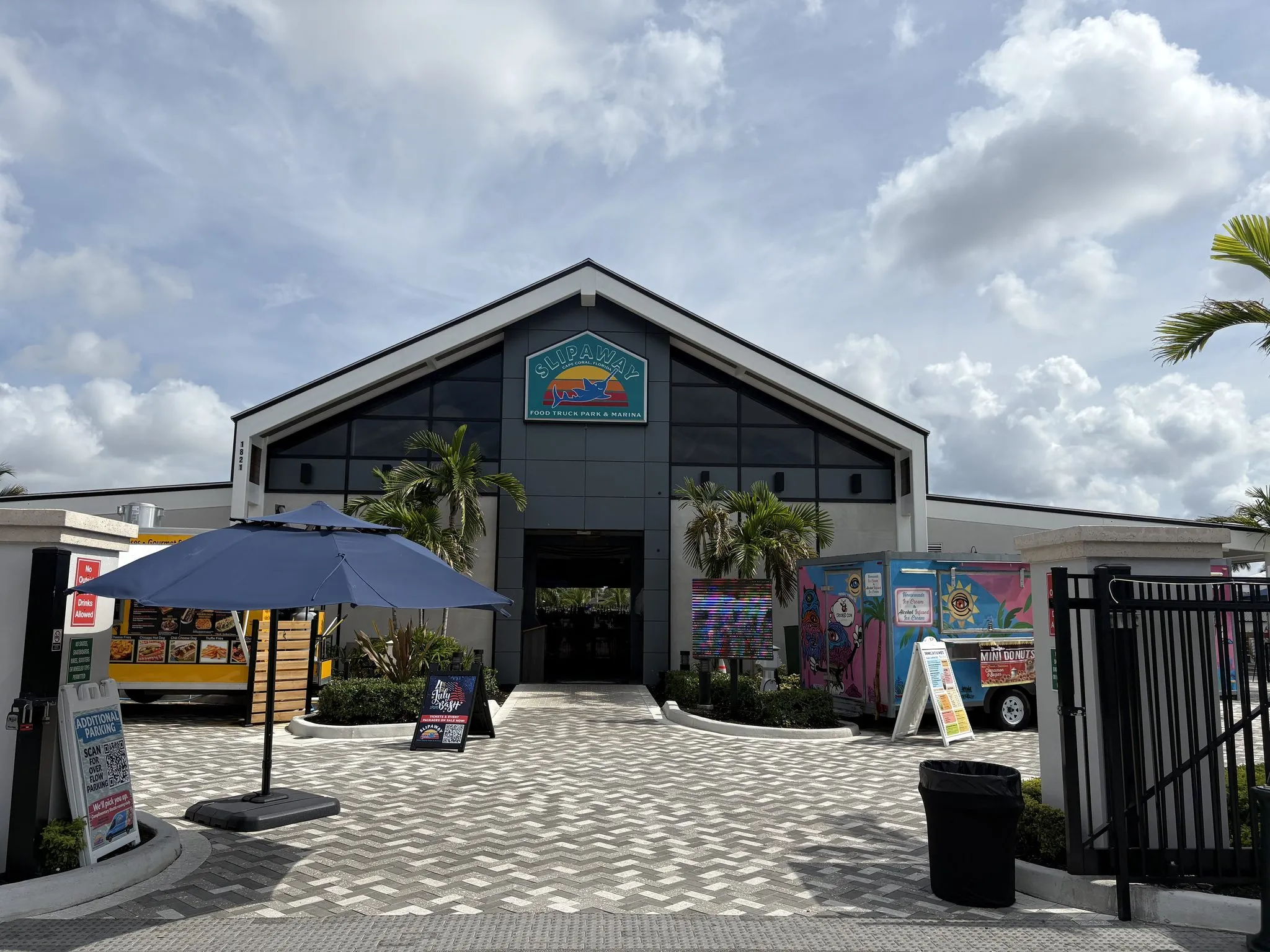
Southeast Cape Coral, at the foot of the Cape Coral Bridge on the Caloosahatchee River
Slipaway is a waterfront food-truck park, marina, and event venue on the Caloosahatchee in southeast Cape Coral. We did the survey work behind it, the topographic and waterfront layout it takes to set docks, pavilions, and walkways right at the river's edge.
View project →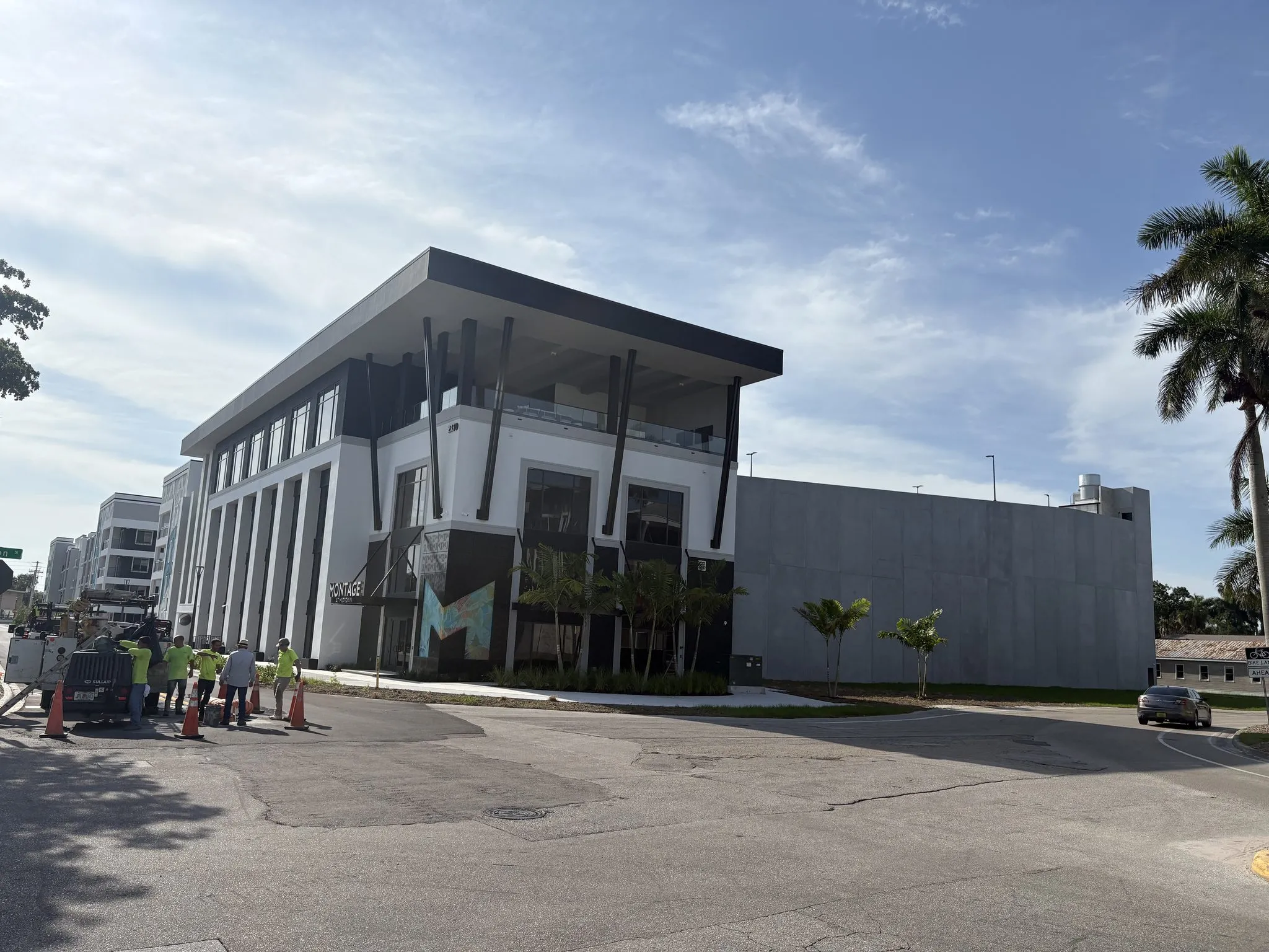
Fort Myers, Midtown (CRA district)
Montage at Midtown put Class-A apartments and office space in the heart of Fort Myers' Midtown district. It was one of our early signature jobs, and we surveyed and staked it through a tight, multi-story build downtown.
View project →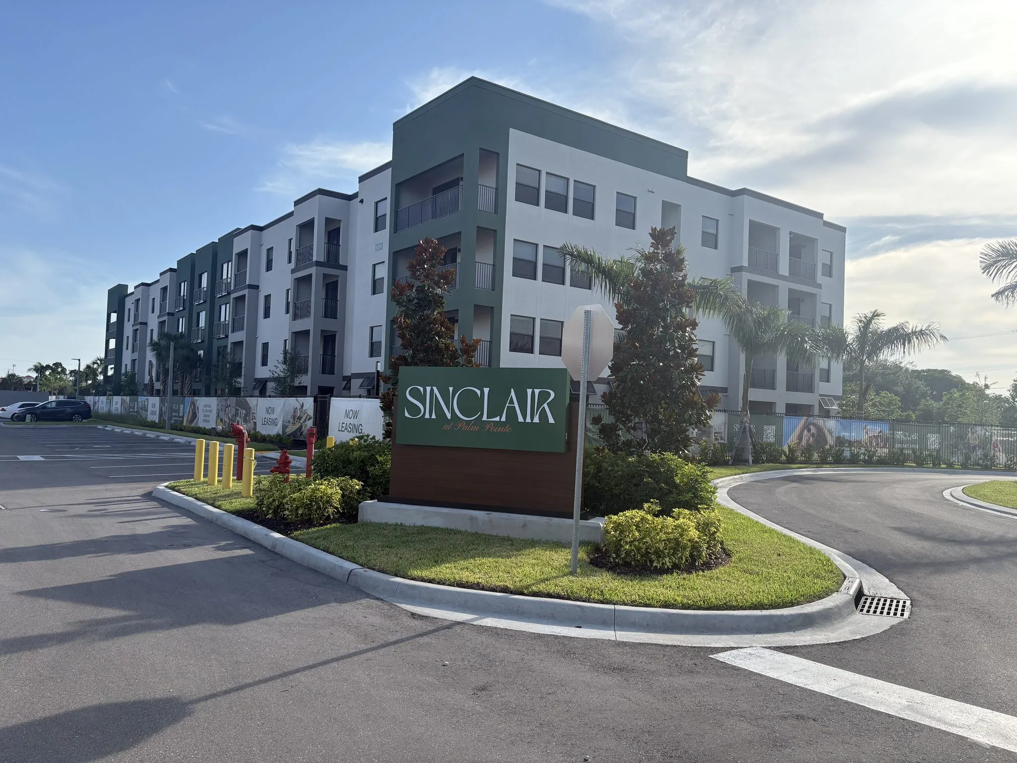
Fort Myers, US-41 corridor
The Sinclair at Palm Pointe is an apartment community on the US-41 corridor in Fort Myers. We set the boundary and grades, then laid out the buildings, parking, and drives as it went vertical.
View project →Beyond our in-house survey crews, we work alongside trusted specialty firms, so your project gets the right expertise at every stage.
Aerial mapping & drone survey
Visit Florida Aerial Survey Technologies
No office phone tree. No automated prompts, voicemails, or bots. When you reach out, you reach our leadership directly, the people who respond to your project and see it through.
Direct contact with the people running your survey, not a queue, not a ticket. Your project matters here.
A leadership team with deep, hands-on survey experience right here in Southwest Florida. We know this ground.
Because we do not work with everyone, when we work with you we are fully committed to delivering excellence.
The same state-of-the-art equipment as the big firms, paired with tried-and-true field procedures for the best results.
Tell us about your project and we will get you a quote. Better service, better pricing, and local professionals at the other end of the line.